PROBLEM
To aid in a marketing campaign, an organization contracted ADC to help map the membership locations for their two health clubs.
SOLUTION
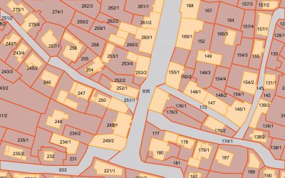
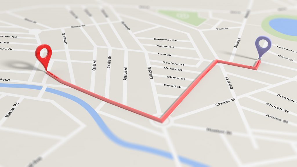
The two clubs had 10,000 members between them, and were 20 minutes apart, with the majority of members living within 10 miles of one of the clubs. Membership points, club centroids, and zip code polygons were geocoded and mapped. Members were mapped on multiple radii, and then by zip code, revealing areas with low membership penetration. In addition to the maps, reports were generated to show the number of members per zone, number of members per zip code polygon, and a list of members greater than 60 miles from the club.
RESULTS
This data helped the client to better spend their marketing dollars by distributing to zip code areas with low membership. By purchasing address data, they mailed materials only where they were needed, which saved money in their tight marketing budget. With an eye on expansion, they used the high density maps to help them determine locations for new clubs.