PROBLEM
The Ho Chunk Nation faces the challenge of managing tribal lands within a 15 county area, in central and southwestern Wisconsin, while making informed decisions about new land acquisitions. Managers recognized the difficulties in managing these lands and turned to GIS more than a decade ago in an attempt to better manage their properties. The Nation contacted ADC, as their needs were still unmet.
SOLUTION
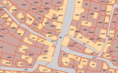
ADC developed initial base layers of the public land survey, roads, and helped organize land records from many sources for the 15 counties, that was then projected into a common coordinate system. On-site services provided an opportunity for Ho-Chunk staff to sit with ADC staff, and get hands-on experience in development and management of GIS data, with new systems and procedures.
Since ADC’s involvement, the Nation has seen significant improvements in the storage, maintenance, and retrieval of information. The Nation even developed a GIS department within the Heritage Preservation – Division of Natural Resources, with whom ADC worked.
RESULTS
The Nation is using the GIS system for many of its daily activities and are presently involved in projects that map a myriad of Ho-Chunk interests. Examples of some of the mapping projects include cultural features, wolf territories, comprehensive lands inventory, casino promotional program customer ranges, surface water quality monitoring, Ho-Chunk housing sites, Nation business economic impacts, and business development. The Nation is continuing to expand upon the number of available data layers as the use of the GIS grows, all the while experiencing gains in efficiency.


