PROBLEM
Monroe County, Wisconsin had several departments using a variety of GIS data formats, with multiple copies and datasets stored and maintained by different departments.This made it difficult for county staff to know which data sets were the most current. The County’s IT Department needed a more efficient way to find the current data and files, update them, and then provide to the appropriate person.
SOLUTION
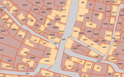
The project consisted of: installing and updating GIS applications on a county server; mosaicing and loading images from the County’s digital orthophotography project; setting up the proper geodatabase schema; loading the county’s parcel data, base planimetric data, rural addressing and related emergency response data, and a variety of land conservation project data.
Also included was the initial setup of users, allowing several levels of data access and editing rights. ADC provided basic maintenance and administration training, database tuning, customized scripts to automate some database administration and backup tasks, assistance with the connection of the server to the County’s network, as well as follow-up troubleshooting and support.
RESULTS
Monroe County now has a centralized and efficient GIS data management system from which all GIS users within the County access and maintain the County’s essential GIS data.


