PROBLEM
Officials at the State of North Dakota had multiple railroad centerline datasets that were incomplete, spatially inaccurate, and missing attributes such as names and ownership information. The poor quality of this data made it unusable for important planning and analysis activities. To speed up the ongoing effort to improve the State’s geospatial base data assets, they turned to ADC.
SOLUTION
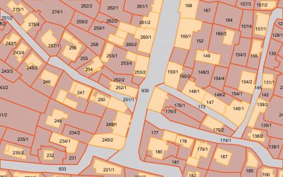
First, a master railroad centerline dataset was created for the state. Multiple railroad centerline sources were used as a starting point for spatial reference and for attribution. These new centerlines were digitized and adjusted at a scale of 1:4,000 feet. Missing attributes were populated, and any naming conflicts (ie. spelling or different names from different sources) were resolved by further analysis and report generation.
RESULTS
The State of North Dakota now has a complete and spatially accurate railroad centerline dataset. They have since decided to have ADC further refine this data to ensure there is greater detail at intersections, railroad sidings, and in urban areas where higher resolution imagery is available. This data is used for state web mapping applications, for planners and counties, and is accessed by the North Dakota National Guard.
“Applied Data Consultants have been great to work with. They are very responsive to our requests and they get things done when they say they will, or sooner.”
Bob Nutsch – GIS Coordinator, State of North Dakota