PROBLEM
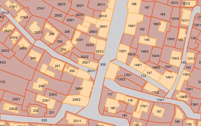
The United States Army Corps of Engineers (USACE) Omaha District Operations Division needed an easy-to-use tool that allowed access to the geographic data layers through a web browser, rather than expensive licensed software.
SOLUTION
ADC built a powerful web-based application that gives everyone in the Division the ability to leverage the power of GIS through a standard web browser. With powerful analytic tools and a streamlined user interface, the application: offers secure access to GIS data layers, organizes data sets based on business lines or project functions, allows for the import of local user data, exports data to local workstations, spatially queries and analyzes GIS data layers, and provides advanced print capability – all in a customizable user interface.
RESULTS
This new application has created efficiencies for the Omaha EGIS Division, specifically for mission critical COE functions regarding data gathering and analyzing. By not having to pay licensing fees, the COE is realizing substantial cost savings, while expanding accessibility to more users and divisions.


